Authorized investigative teams
Teams that need ranked location leads from low-context photos or individual video frames.
Independent tool overview
GeoSpy has evolved into Raven, Graylark's visual intelligence platform for verified investigative, government, public-safety, and enterprise teams.
Visit the official GeoSpy AI site ↗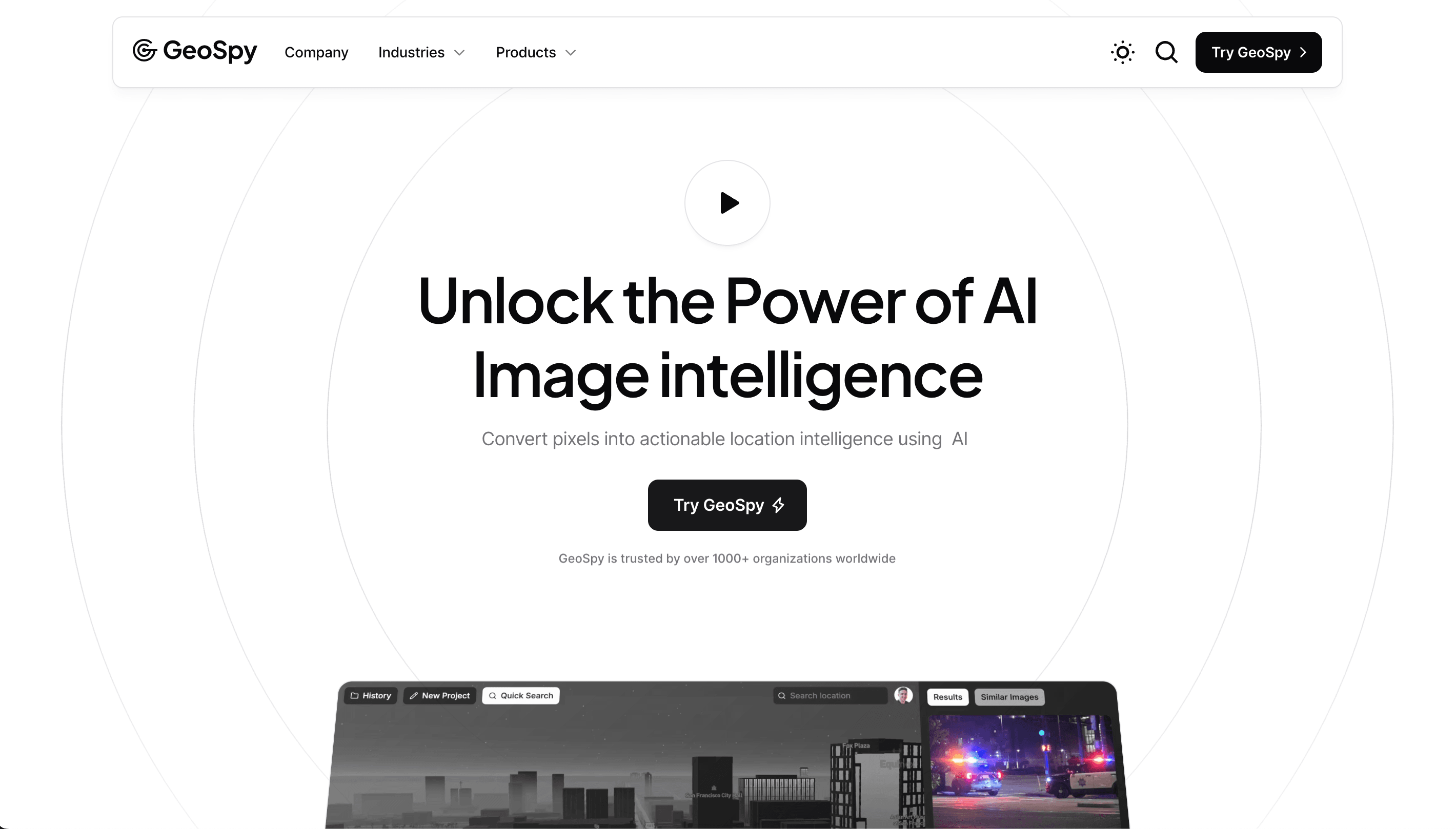
Overview
GeoSpy was an AI image-geolocation tool that estimated where a photo was taken from visible details rather than GPS or EXIF metadata. In April 2026, Graylark renamed and expanded the product as Raven. The same visual-geolocation foundation remains, but the current platform also offers street-level candidate targeting, vehicle identification, image-authenticity analysis, and case management.
Raven is not positioned as a general-purpose consumer search tool. Access is aimed at verified law-enforcement agencies, government entities, public-safety organizations, investigative teams, and qualified enterprise users. Organizations start by requesting a demonstration; trials, licensing, API access, and deployment options are handled through Graylark.
Results are ranked investigative leads, not guaranteed facts. Image quality, compression, lighting, obstructions, visible context, and geographic coverage can materially affect the output. Important conclusions should be checked against independent evidence, organizational policy, and applicable law.
Use cases
The strongest fit depends on the job you need the product to complete, not the size of its feature list.
Teams that need ranked location leads from low-context photos or individual video frames.
Qualified organizations evaluating visual intelligence within governed investigative workflows.
Approved teams that need browser, mobile, or API-based image analysis with organizational controls.
Capabilities
Analyzes terrain, vegetation, architecture, roads, materials, and other visible signals to rank likely regions without relying on embedded metadata.
Refines a broader search area into ranked street-level or precise candidate locations when the image and available coverage provide enough visual evidence.
Returns ranked make, model, generation, and year candidates from partial, obstructed, interior, or exterior vehicle views.
Assesses images for signals of AI generation, deepfakes, face swaps, and other manipulation. This capability is currently presented as beta.
Collects searches, operator annotations, sources, and candidate locations in a shared investigative map and case workspace.
Graylark supports programmatic access for approved organizations, with integration availability and deployment details discussed directly.
Process
Step 1
Book a demonstration with Graylark and describe the organization, intended users, use case, and deployment requirements.
Step 2
Upload an image or extracted video frame that your organization has the legal right and operational need to analyze.
Step 3
Run regional geolocation, street targeting, vehicle identification, or image-authenticity analysis as appropriate.
Step 4
Treat locations, vehicles, scores, and authenticity assessments as leads whose usefulness varies with the source image.
Step 5
Validate relevant results with other evidence, established investigative procedures, agency policy, and applicable legal requirements.
Cost
Graylark does not publish fixed Raven prices. Access, trials, API availability, licensing, and deployment are scoped for qualified organizations.
Request access
A guided evaluation for qualified law-enforcement, government, public-safety, investigative, or enterprise organizations.
By approval
Trial access may be offered after review, with the structure based on the organization and intended evaluation.
Contact for pricing
Named-user or organization-wide licensing tailored to the users, workflow, procurement path, and deployment requirements.
Pricing checked . Check current pricing at the source ↗
Assessment
Compare
The right alternative depends on the specific output, workflow, controls and budget your project requires.
Content Creator
Gemini is a broadly available multimodal assistant for describing visible clues and supporting manual image research, though it is not a dedicated investigative geolocation system.
Explore Gemini →Business Operations
ChatGPT can help interpret landmarks, signage, architecture, and environmental clues in an image, but its output still requires independent verification.
Explore ChatGPT →Data Analysis
Perplexity is useful for source-backed follow-up research once an investigator has extracted names, places, or other clues from an image.
Explore Perplexity →Questions
GeoSpy became Raven in April 2026. Graylark says the same team and visual-geolocation foundation continue under the Raven name, with additional investigative capabilities.
Yes. Raven is the current name for the platform formerly known as GeoSpy.
No. Raven is available by request to verified agencies, investigative teams, government entities, and qualified enterprise users. It is not presented as an open consumer product.
No. Raven is designed to analyze visible content in the image and does not require GPS coordinates or EXIF metadata.
There is no universal accuracy figure. Results may range from broad regional candidates to precise street-level leads depending on the image and available coverage. Graylark says results should be corroborated with other evidence.
Graylark does not publish a public rate card. Qualified organizations request a demonstration and receive licensing details based on users, workflow, deployment, and procurement requirements.
Graylark's published privacy materials say customer images and metadata are not used to train its models or for applications beyond delivering the requested service.
The published GeoSpy privacy policy says quick-search images are retained for seven days. Images placed in projects or case files remain until deleted, followed by a 30-day deletion period. Organizations should confirm the current terms during procurement.
No. Raven provides ranked investigative leads and analytical assessments. Users should verify important results with independent evidence, established procedures, policy, and applicable law.
Bottom line
GeoSpy's evolution into Raven makes the platform substantially more capable, but also more specialized. It is a serious option for qualified investigative and public-safety teams that need visual geolocation and related image intelligence inside a governed workflow. It is not the right fit for casual reverse-image searches, and its ranked results should always be corroborated before they influence consequential decisions.
Visit GeoSpy AI website ↗
Get access to all our AI courses, hundreds of real-world AI use cases, live expert-led workshops, an exclusive network of AI early adopters, and more.
Get unlimited access to all of our current & upcoming industry-specific AI courses for the duration of your subscription.
To keep up with the rapid pace of AI, our team publishes AI implementation guides daily. Our library contains 300+ practical use cases to automate real-world work.
Join weekly, live, interactive sessions with industry leaders who are at the forefront of AI for hands-on implementation guidance and exclusive insights.
Network with an exclusive community of AI-first professionals who are working smarter with AI. Learn how early adopters are using AI in their work and businesses.